The Lyme Maze Game

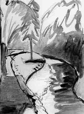
In the pebbly shallows of the stream, where it turns the corner, children are likely to be playing. In the same region, if not at the same time, a family of mallard ducks makes its base. And a little farther along, you are quite likely to see one of a pair of wagtails, slender birds with sharp accents of black and white that dart across the stream into the overhanging foliage, and on landing anywhere constantly flick their long tails up and down. After a night of rain the clear stream turns suddenly muddy: no longer do you see the pebbles, nor any fish, though you may see a small one jump. A friend who was a child here when American troops were stationed in Lyme during the Second World War remembers seeing two black soldiers catching fish with their hands—presumably "tickling" trout.
The path borders a small grassy streamside park with benches and flowerbeds. Here too children play. The place is sometimes like a little internal beach for the town.
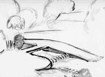
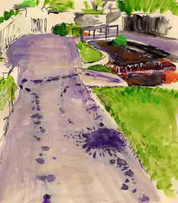
The path comes to a footbridge. Just below it is a small weir, and just below the weir is a shallow place that was formerly a ford. You could, instead of taking the bridge, run (or ride) down the ramp on this side and across the ford. Splashes on the path tell the story of a boy and his dog:
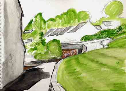
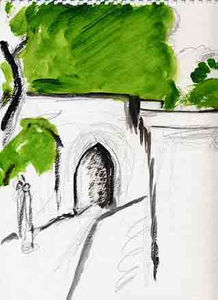
(It was only while sketching this that I noticed a path on the left, which leads rather deviously to Woodmead Road.) The short road on the other side, which ends by slanting into the water, is called Jericho. It commemorates an earlier time when all this was out in the country, between green fields: there was no road, tarmac path, or footbridge, just the ford, and an orchard on the hither bank called Jericho, and a house on the other side called Jordan. These names are traces of the time in the 1600s when Lyme's Baptists used to baptize their infants in the river, which they preferred to think of as the Jordan. (They had the geography a little confused: "Jericho" should be on the right or west bank. The right and left banks of a river are as the river sees them, or as you see them while you float downstream. So as you now, advancing upstream against the stream's flow, cross to the bank that's on your right, you're crossing to the left bank.) PICTURE: Jericho being excavated, though not by archaeologists ] Going on along Jericho, notice another footbridge, a sturdy wooden one.
In the tiny house across the bridge an old fellow called Roger lived without heat or power—"We were worried about him", said neighbours—and the bridge, his only means of access, was close to collapse. The members of the Football Club, who included architects and carpenters, built him a fine replacement. (Roger died and a new owner rebuilt the dilapidated house too.) Immediately past Roger's bridge, the river veers off, separated from the roadway by a high-walled garden. But, just past the cottage row at the end of the garden, the river returns into view after its excursion around a secluded triangle. Other footbridges cross to lucky riverside houses. The little road called Jericho ends as it meets a real road (one liable to have traffic on it) crossing a bridge, through which you can see and hear a large weir.
The crossing road is named after Woodmead Farm whose land it obliterated in the twentieth century. Up to the right it comes very shortly to Anning Road (whose other end you may have seen on the way down the hill into Lyme) and up to the left it climbs suburbanly. Let's ignore and cross it (not ignoring the cars that may come swooping along it). The weir, just past the bridge, is about five feet high, and the top of it is the starting point for Lyme's rubber-duck races. Two years running, the New Year's Day variant of the duck race had to be cancelled because the river was running too fast. PICTURE: weir, rubber ducks ] Ponded by the weir, the water is glassy for a stretch, until it resumes the pebble-broken surface of a natural stream. But the river's height shows remarkable variation after rainstorms or dry spells, as can be seen by its marks and flotsam high on the bank, because it's only a little river (three miles long) with a short catchment valley. The road—for it does count as a road—has the twentieth-century-sounding name of Windsor Terrace. There are some more footbridges to small houses; behind those is a grassy slope on which waddles a noisy flock of geese. PICTURE: geese ] Then the road squeezes past Higher Mill, the fourth old mill up the river; now converted to Mill Flats. Past here the river, down in its slit, is almost hidden by leafy branches, and the way beside it is more like a ledge than a road, so that you are quite surprised if a car noses along. Yet somewhere along this route must have lain the old track continuing Coombe Street inland. The route comes to another bridge, a much older one, with a narrow pointed arch.
This is Horn Bridge. It carries an ancient route which here crosses the valley, and essentially bounds the town—you can see green woods beyond. So it seems that in some periods of history the route from Lyme ran inland up the stream this far, then turned either way to climb out of the valley. You can do the same, turning left, or right. Or go ahead along the bank of the river. Or pause to watch the fellow repairing the parapet of the Horn Bridge, which is made of brick and rots away every few centuries, unlike the stone arch underneath. This chance to see the interior of the wall shows us that the bricks are laid in a broad Flemish bond like fingers that have been interdigitated and then pulled somewhat apart. After the repair job was done, local people derided the new white mortar: it should, they said, have been aged by smearing with cow manure. PICTURE: HornBridgeBricks ] A spout of water, like a long beard, comes out of the bank to the bridge's left. It must once have been a rivulet that came down the slit now filled by the lane. |
