The Lyme Maze Game

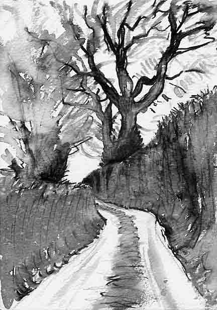
Escape into instant quiet! I first noticed this lane as a thread-like line on the Ordnance Survey map, and decided to explore it as another route across country from Axminster to Uplyme. Winding steadily up into the hills, it went on, and on, and on, mile after mile. Or so it seemed, climbing past fields, then up through woods, with never a human habitation. Could this be "densely populated" England? Actually the lane extends just a mile and a quarter before rising to the Bulmoor crossroads, and it does pass near a couple of farms, though you don't see them. They are Little Trill and Great Trill, and the side-valley to the left, along whose flank the lane climbs, is generally called the Trill valley, so it's natural to speak of this lane as the Trill Lane. But its name as marked on the map is Pudleylake Road (and "Trill Lane" belongs to an even slenderer lane leading from Abbey Gate to the farms). Well then, the Trill lane—I mean the Pudleylake Road—first carries you into the quiet of the fields. It diverges obliquely from the main road, so that you can smile tolerantly back at the scurrying lorries, now glimpsed through at least two stout hedgerows. One time the only traffic I met along the whole lane was three ladies in wheelchairs. (But on other days I've met more than one enormous tractor almost fitting the lane from side to side; this was in May when they were hauling manure to spread on the fields. May, November, the lane may have a scent of cow-manure; it's a real farming lane.) Once the only movement over the fields was a curlew. The ground rises slightly, and through field gateways you behold the theatre of hills. That high horizon to the right is the one to which you're going to climb. But first, there's a steep short dip, to where the lane crosses the stream that comes out of the side-valley. There is an inconspicuous bridge, sitting on rather than over the water, but the road is so muddy (from tractors coming out of the fields) that you may take it as a ford—indeed I lift my feet in the air when riding across it. This is the spot descriptively called Pudleylake. (The element lake in Devon names usually means "stream", but the map seems to indicate that in this case the name applies to the locality of the ford.) Now starts the long climb, not terribly steep but wearing when the bike is heavily loaded. (I sometimes think of the Ho Chi Minh trail, along which men and women on bicycles used to bring supplies for the Vietcong, hundreds of miles through the mountains, not just groceries but heavy weapons; no tarmac, no twenty-one gears, and not much food.) After an eighth of a mile, at Trill Cross, a gravel lane on the left goes down to Great Trill farm, out of sight in the valley, and a lane on the right to Little Trill farm, whose roof can be glimpsed—and whose geese can be heard, on a pond behind the hedge at the corner. After here the lane, seven feet wide (I measured it by lying across it), is even less used and so the moraine of gravel along the middle has more continuous cappings of grass, dandelions, and moss.
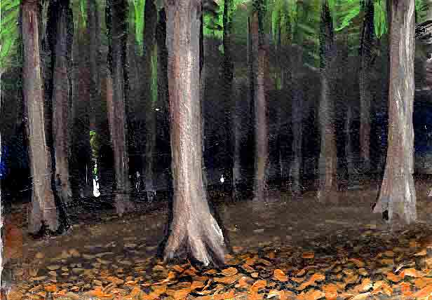
On up between thick hedges and groups of trees. PICTURE: sheepWeigh As I came past this gate in March, an operation was going on with a small flock of sheep: the farmer, assisted by his father and mother, had the sheep penned among some iron hurdles in a corner of the field, was allowing them to pass one by one through an exit, at which they got weighed; then they were driven in again, to allow a search for the few whose limping gait showed they had foot-rot; then they were filtered out into another field. One of the sheep is saying in a deep gruff voice: "Bear with me." Next week as I came along, the hurdles were still there, and I ventured over the gate to take a look at, and map, the little maze formed by the system of hurdles, tied to each other with string (and anchored to only a few posts); the system had two rooms connected by a passage, another passage leading to an open exit, and three doors consisting of hurdles tied at only one end. Eventually the lane hits the lower border of a forest, and achieves the status of a gallery, roughly level, between the forest on the right and the valley dropping to the left. I think the original lane must have exploited a natural ledge in the hillside: at first there is a taper of flat ground in the forest edge, and another between the lane and the bank; but soon they end and the lane is squeezed between the forest and the banister-like bank. Glance up into the darkness of the forest: it's actually a large plantation of firs (with beeches that have grown up on the bounding banks). Eventually the lane turns uphill into it. A wood like this seems untraversable by light, yet even near the heart a few sparks struggle through.
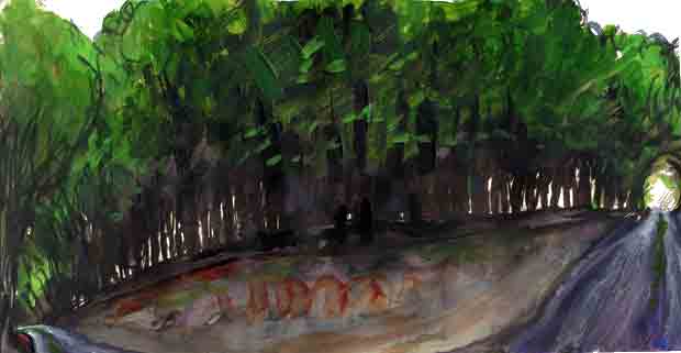
The Ents, as Tolkien called the Trees (one of the better of his names, alluding perhaps to "entities", "beings"), seem here as sinister as he evidently felt them. And the sinisterness may be not just fanciful: I've been told that, with their lack of an understory of vegetation, coniferous plantations are biological deserts. A 180-degree view might look like this:
When the wood is full of mist, the distances between the trees seem (in contrast to the rest of the day) to become lighter instead of darker—shades of gray instead of shades of black. The lane emerges at Bulmoor Cross, where the sign says "Musbury 1 1/2" right, "Uplyme 2 1/2" left, so you turn left. (The road opposite goes only to Bulmoor Farm.) |


