The Lyme Maze Game

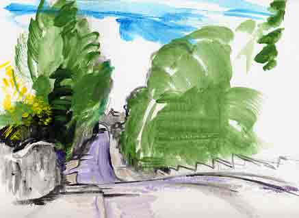
You are only a few steps away from the centre of Axminster, yet you are already at the town's edge!—the edge of the eighteenth-century town, that is. For the two houses between which this road starts were once farm houses. The one on the right, The Cedars, has a stately door on its longer front into Church Street, but one of the windows opening onto the road out of town was formerly a doorway, and (according to a little leaflet called "Discover Historic Axminster") there is behind this window "a charcoal hand warmer as used in Southern Europe". The facing former farmhouse is called Rosemount. So as you pass between these "town farmhouses" you're already out in what were their fields. Nevertheless, there's a dense row of what look like quite old cottages fitting tightly to the road as you follow it out of Axminster. This is the road that leads south along the side of the Axe valley to Musbury and Axmouth; in fact is follows the line of the ancient Fosse Way. But this first section of it is no longer the main road, traffic being now diverted around a sequence of wider streets. You pass the end of a cross-street whose name has been altered by local jokers from Widepost to Widepot Lane (supposedly it was once Whit Poi and was the site of the animal pound—and of the Axminster gallows) and after a quarter of a mile the present main route comes up from the right and swings into line again. Keep on along it (you don't want to go back into Axminster). It makes a dip, where one of the tributary streams has cut through the terrace that lines the side of the Axe valley.
You notice at the bottom of the dip (a spot called Gamberlake Cross) what seems to be a merely suburban turn to the left. Tired of the traffic you swerve off onto it. Or continue straight along the southward route out of the town. |
