The Lyme Maze Game

|
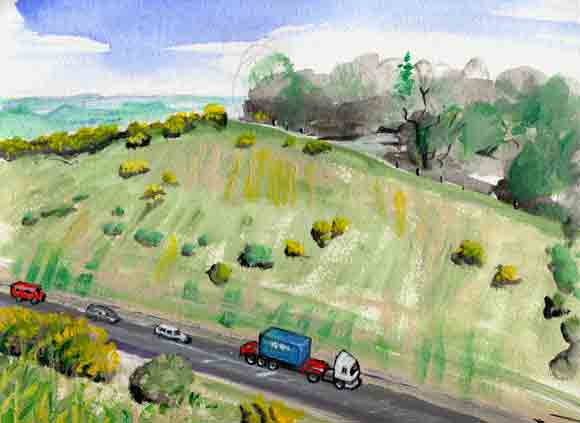
The northward lane slides past a field in which caravans are parked, but the lane's surface is deteriorating, as if it is scarcely used any more. And it comes to the brink of a canyon. Not a natural canyon: this is the cutting, or tremendous gash, in which the modern A 35 highway rushes past.
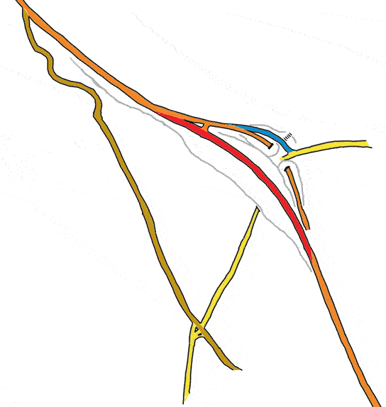
Formerly, the lane continued, high over the highway, and then on into the country to the north. At the end of my first visit to Lyme, in 1985, I noticed this on the map and chose it as a fine route by which to depart on my bicycle. After pausing to look down pityingly on the traffic booming past below, I had a wonderful sensation of escape into the hinterland. The lane plunged away (it is one of the longest and steepest descents in the region—so much so that it has at least two names, Thistle Hill in the upper part and Westover Hill in the lower). It plunged away down to places with names like Wootton Fitzpaine and Whitchurch Canonicorum, and I went on up through the tumbled Dorset countryside to Sherborne, and on northeast across the Thames to my parents' home in St. Albans. Afterwards I had an incorrect memory that it was a bridge from which I had looked down on the highway. (That was the ghost bridge you may have seen, if you took the straight way along the A 35 at the beginning of this game.) I was disappointed, on coming back in 2001, to find that the bridge had been demolished. That delightful sallyport from Lyme is no more. From the stub of the lane you may see the bridge by hallucination or imagination, crossing to a small open patch on the farther side. Even to get to this viewpoint on the nearer side you have to scramble past a barrier of gorse bushes that have grown to ten feet high. Then people told me that there had been no bridge, but a tunnel. So it seemed the highway cutting had just been gouged out more thoroughly—the roof taken off the tunnel. Later again, I learned that this wasn't correct either: the tunnel still exists. The history is more complicated:
YELLOW is the lane you have come along, and its continuation inland toward Wootton Fitzpaine. So, you're on the brink of this canyon; the lane you've followed has become a dead end. You could reach its continuation, but only by a long way round. EXIT from the game! —Or that was how this branch of the maze ended in my first version. But since then I've discovered more features that I want to show you on the other side of the artificial canyon. Crawl through the barrier of gorse and take a flying leap— |

